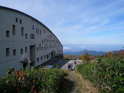
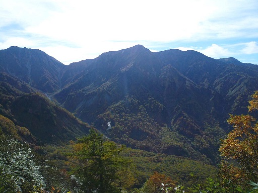
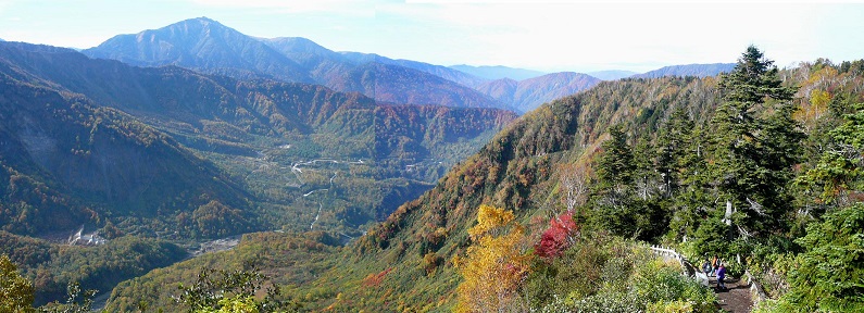
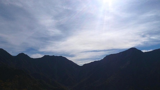
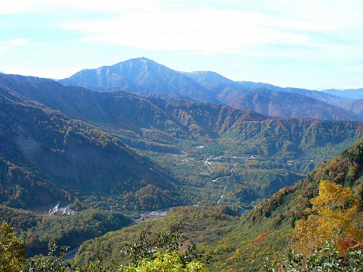
Tateyama Caldera on Tateyama Kurobe Alpine Route

To the south of Midagahara Highland, another hiking trail is available to Tateyama Caldera.
The trail starts from "Tateyama-Sou" of National Youth Hostels.

After a 20-minute hike from "Tateyama-Sou" Youth Hostels, you will arrive at the observation deck of Tateyama Caldera. The spectacular view is in front of you.

The mountain in front of you is Mt. Washigatake, whose altitude is 2,617 meters in height. The mountain on your left is Mt. Shishigatake, whose altitude is 2,714 meters in height.

Actually, Tateyama Caldera was not created by a volcano eruption, but by the collapse of mountains due to an earthquake, which happened in 1858. The area of Tateyama Caldera is 6.5 kilometers in an east-west direction and 5.0 kilometers in a south-north direction.

You will see Mt. Yakushigatake in the distance. The altitude of Mt. Yakushigatake is 2,926 meters in height.

On your far left, you will see Tateyama Mountain Range. You will be overwhelmed by the majestic scenery.

How to get there
You can access to Midagahara from Toyama Station through Tateyama and Bijyodaira. For more details, please refer to the page of Tateyama Kurobe Alpine Route.

Official English Website:
https://www.alpen-route.com/en/about/highlights/tateyama.html

Other Historical Sites near by:
Tateyama Kurobe Alpine Route
Midagahara
Murodo
Daikanbo Scenic Spot