Midagahara on Tateyama Kurobe Alpine Route

Midagahara Highland is located on the Tateyama Kurobe Alpine Route. The area of Midagahara is 9 kilometers in an east-west direction, and 3 kilometers in a south-north direction.

Midagahara Highland was made by pyroclastic flows of the Tateyama Volcano. To the north, Mt. Dainichi and Mt. Oku-Dainichi are located. The Shomyo River flows between Mt. Dainichi and Midagahara.

The altitude of Midagahara is approximately 1,600 to 2,000 meters in height. Bog (wet muddy ground) is spread on Midagahara Highland, but hiking trails are well prepared.

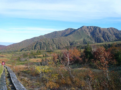
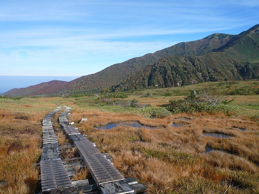
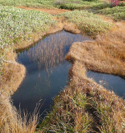
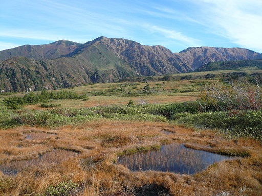
Hiking trails run along bog and you can enjoy seeing bog. I walked Midagahara on a morning in October. Fresh and cool air made the scenery very beautiful. Autumn colored leaves are also beautiful.

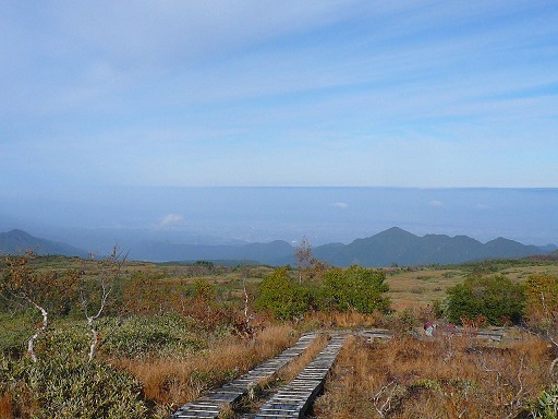
To the west, you can look down on Toyama Plane in the distance. The mountain you can see below is Mt. Ohtsuji, with an altitude of 1,361 meters in height.

It took me approximately one hours and a half to walk the hiking trail in Midagahara. 
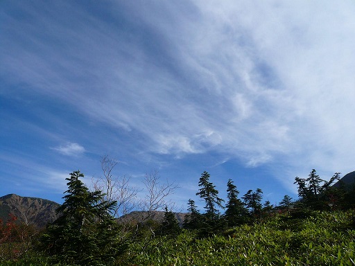
The sky above Midagahara was also very clear as shown in the picture below.

Tateyama Kurobe Alpine Route is very crowded in Autumn, but hiking trail in Midagahara was not crowded.

How to get there
You can access Midagahara from Toyama Station through Tateyama and Bijyodaira. For more details, please refer to the page of Tateyama Kurobe Alpine Route.

Official English Website:
https://www.alpen-route.com/en/

Other Historical Sites near by:
Tateyama Kurobe Alpine Route
Tateyama Caldera
Murodo
Daikanbo Scenic Spot