Ashigara-Kodo" in Shizuoka and Kanagawa
"Ashigara-Kodo" is the old trail to Ashigara Pass, located at the border of Sagami Province (present-day, Kanagawa Prefecture) and Suruga Province (present-day Shizuoka Prefecture). It was the main road to cross the Hakone Mountains. It was built from the Nara Age (710 - 794) to the Heian Age (794 - 1185) .
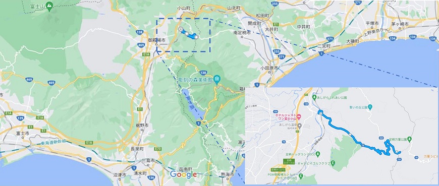

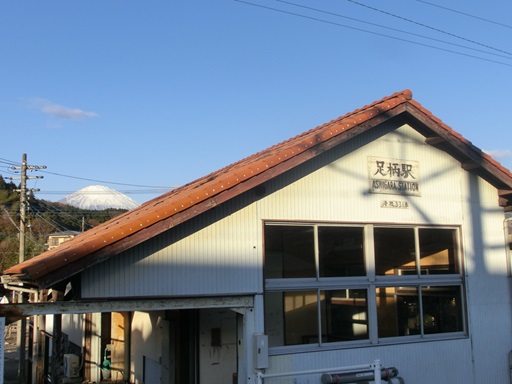
Since ancient ages, the mountains of Hakone have been a difficult place for people traveling between the eastern and the western regions. "Ashigara-Kodo" takes a slight detour to the north. It passes through Ashigara Station on the Gotemba Line and heads east over the mountains of Hakone.
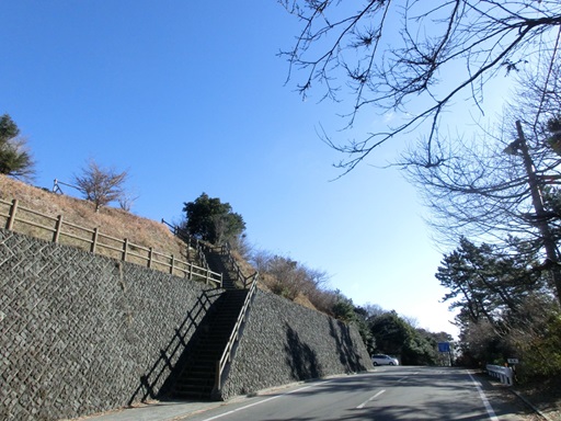
On the east side of Ashigara Station, the starting point of the "Ashigara-Kodo" is located. The slop shown in the below picture is the entrance of the "Ashigara-Kodo".
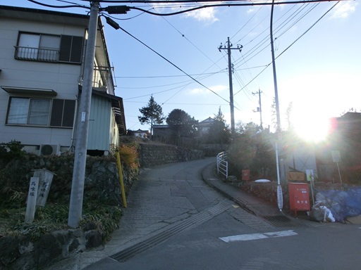
The slop is named "Bakuro-Slope", which means a merchant who buys and sells cattle and horses, and acts as an intermediary. In ancient ages, people who cross Hakone Mountains vis "Ashigara-Kodo" may have ridden horses here.
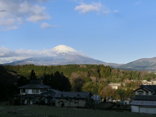
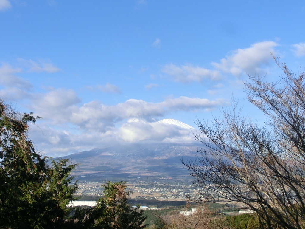
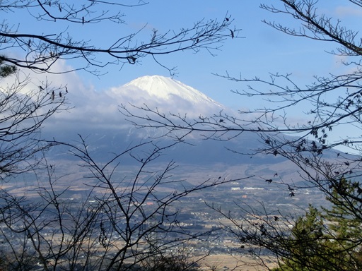
When you go up this slope, pass through the Ashigara village and look back, you will see Mt. Fuji. When I visited, Mt. Fuji was clearly visible and beautiful.

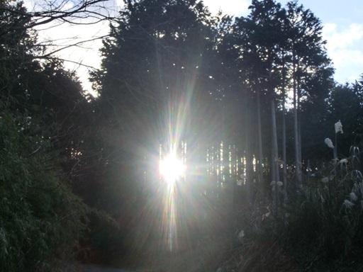
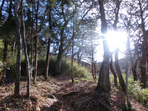
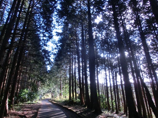
After leaving the village, the Ashigara Old Road heads into the forest. The morning sun shines between trees.

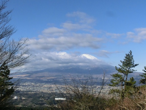
The scenery in the forest was very beautiful. As I passed through the forest and looked back, I could see Mt. Fuji in full view.

I was concerned that there were more clouds than before.

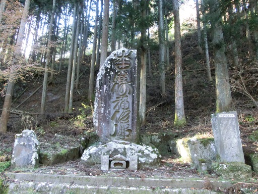
After ten minutes of walk, there are a couple of stone monuments along the "Ashikaga-Kodo". These statues are related to St. Nichiren (1222 - 1282) . St. Nichiren founded the Nichiren-sect in 1253. The Nichiren sect was persecuted by the Kamakura shogunate. Nichiren decided to preach on Mt. Minobu, located in present-day Shizuoka Prefecture, and headed there from Kamakura. On the way to Mt. Minobu, he walked through the "Ashigara-Kodo" from east to west. In 1282, St. Nichiren went to Ikegami-Honmon Temple, located in Ohta Ward, Tokyo. He also walked through "Ashigara-Kodo" and stayed in this area. In order To commemorate these events, the monument engraved with the mantra of the Nichiren sect, shown in the below left picture, was erected.

The above-right picture shows the stone monument associated with St. Yuinen (1791 - 1880) . The monument was built in 1839. At the end of the Edo Age, people in this area were suffered from famine and plague. It is said that he chanted prayers to save the people of Ashigara from famine and epidemics. People in this area erected this monument to commemorate this.

From here, the "Ashigara-Kodo" once again begins a steep uphill climb. This area is in a valley, and it was chilly with no sunlight.

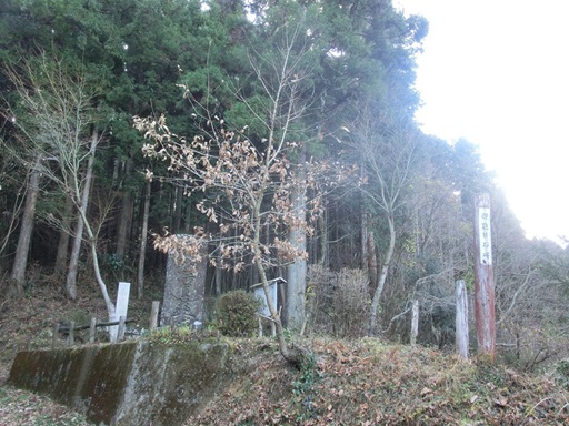
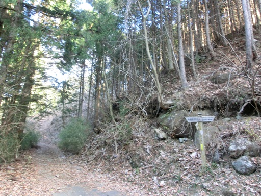
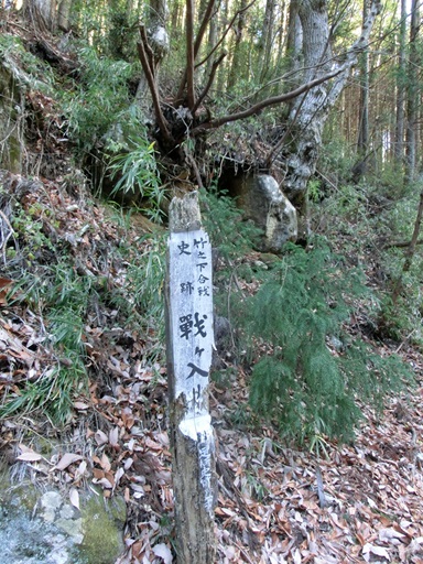
When I was just over halfway to the pass, I came across the dilapidated signboard shown in the photo below. The signboard indicates the site of the "Sengairi" Battlefield of "Takenoshita Battle".

In 1335, Emperor Godaigo (1288 - 1339) issued an imperial decree to subjugate Ashikaga Takauji (1305 - 1358) , who founded the Muromachi Shogunate. The battle took place in January of 1336, between Nitta Yoshisada (1301 - 1338) and Ashikaga Takauji in this area.

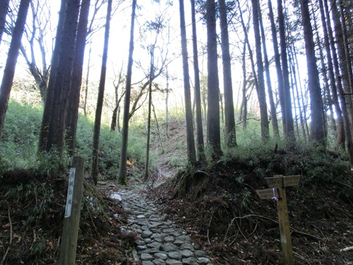
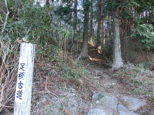
Approximately seven minute walk from the site of the "Sengairi" Battlefield of "Takenoshita Battle", you will see stone-paved road in the mountains on your left.

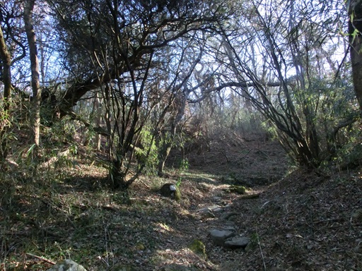
From Ashigara Station to this point, the road was paved and it continues to the Ashigara Pass. But, from this point onwards, the original Ashigara Old Trail remains. The mountain trail that has been walked by many people for over thousand years now sits quietly as if asleep.

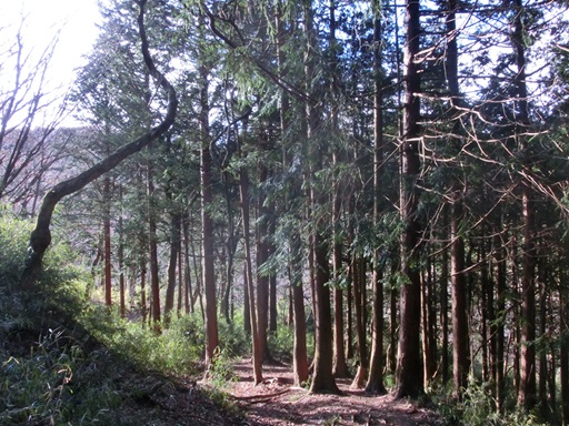
The mountain trail was quite steep. Once I got through it, I walked through a forest. The sun was shining in, it got warm, and it felt like I was walking along a trail across a plateau.

Mount Fuji came into view again through the trees. The clouds were getting thicker and thicker, threatening to obscure the mountain's peak.

I continued walking along the old trail. The slope became steep again.

When I came out onto a paved road again, the old trail came to an end. It felt like I had been walking for quite a long time, but I had only been walking along the old trail for about twenty minutes.

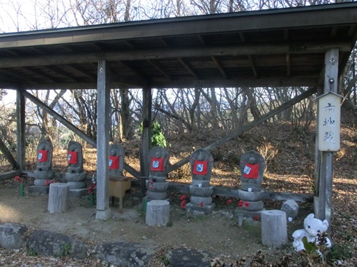
Along the paved road, six Jizo Bodhisattva statues are located. The six Jizo Bodhisattvas were enshrined based on the "Six Paths" in Buddhist cosmology.

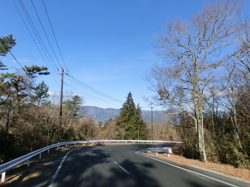
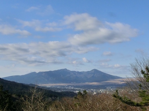
When I came out onto the paved road, it was close to the mountain ridge and the slope was gentle. Looking back, I could see Mt. Fuji on the right and Mt. Ashitaka in the distance on the left.

If the retaining wall on the high ground continues on the left of the paved road, Ashigara Pass is just around the corner.

The altitude of Ashigara Pass is 759m above sea level. The difference in altitude between Ashigara Pass and Ashigara Station is 429m. It took me about 1 hour and forty minutes to walk the approximately 5.5km journey from Ashigara Station.

How to get there
From Tokyo and Osaka, take a bullet train on the Tokaido Shinkansen to Mishima. Change to a local train to Numazu and take a train on the Gotemba Line to Ashigara Station.

Other Historical Sites near by:
Ashigara Pass
Gotenba Area
Mt. Hakone, Oowakudani
Lake Ashinoko
Atami

Go to the top page of "Historical and Exotic Japan":
http://handejapan19.html.xdomain.jp/index.html

Home Page in Japanese: "Shane's HomePage"
http://shanehsmt.html.xdomain.jp/index.html